Mt. Sugarloaf State Reservation At A Glance...
- Todays Sunrise: , Sunset:
- Massachusetts (No Region) Franklin County
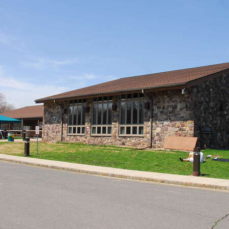
About Mt. Sugarloaf State Reservation
Mt. Sugarloaf offers a commanding view of the Connecticut River, the Pioneer Valley, and the Pelham and Berkshire Hills. Consisting of two peaks, North and South Sugarloaf, the Reservation offers picnicking, scenic viewing and hiking.
Contact / Location
You may also like...
Nearby Places
- Mt. Sugarloaf State Reservation (~0 miles)
- Magic Wings Butterfly Conservatory and Gardens (~2 miles)
- Family Golf Center (~9 miles)
- DAR State Forest (MA) (~10 miles)
- Norwottuck bike path (~10 miles)
- DAR SF Campground (MA) (~11 miles)
- Glacial Potholes (~11 miles)
- Bridge of Flowers (~11 miles)
- Tregellys Fiber Farm (closed) (~15 miles)
Looking for more?
Post Comments
Related Content
Blogs
Have you visited the NJ Outdoor Map yet? You should...
We started working on a new site that will help you find new places to explore. It is called the NJOutdoorMap.com
Details
A Special Time to Stargaze: 2016 Perseids Meteor Shower
This year is setting up to be one of the best years for seeing the Perseids Meteor Shower. With a projected rate of 50 - 150 per hour,
Details